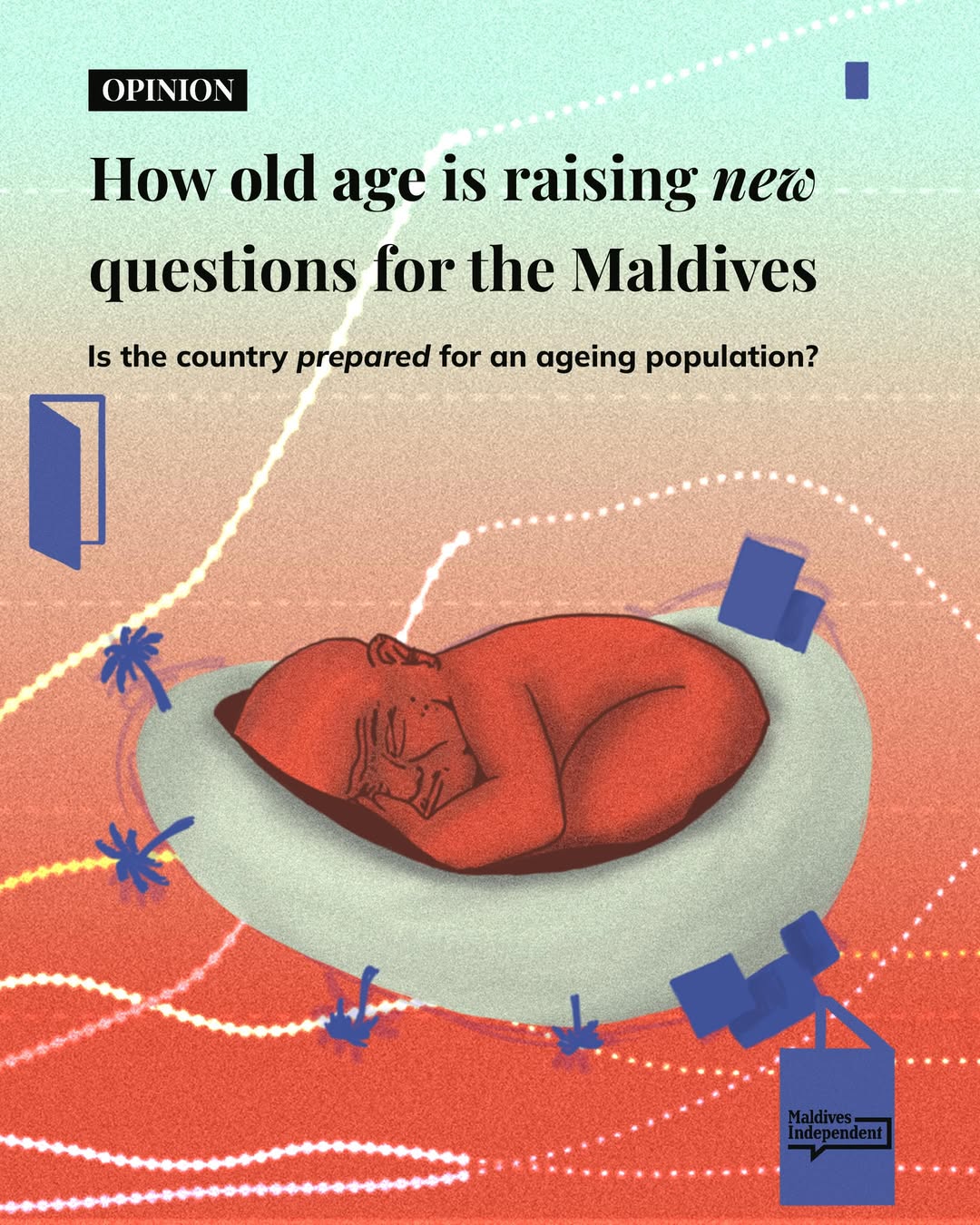
OPINION | The Maldives is planning for a growing population. But are we planning for an ageing one?
Today, around one in 20 Maldivians are aged 65 or older. By 2050, that figure could rise to one in five. Longer life expectancy is one of the country’s greatest achievements, argues Mariyam Khalida, but it also raises new questions about how we design our communities and public services.
As families become smaller, apartment living becomes the norm and more people move between islands and overseas, traditional support systems for older people are changing. Khalida argues that ageing should no longer be seen solely as a healthcare issue, but as one that touches housing, transport, employment, public spaces and the way our cities are built.
If the people who will be 65 in 2050 are already among us, she asks, are we making the right decisions today to ensure they can grow old with dignity, independence and connection to their communities? https://maldivesindependent.com/opinion/how-old-age-is-raising-new-questions-for-the-maldives-61e8
All comment pieces are the sole view of the author and do not necessarily reflect the editorial policy of the Maldives Independent. If you would like to write an opinion piece, please send proposals to [email protected].